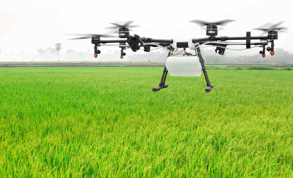
Geo-spatial imaging technology: We have diverse experience in geo-spatial imaging technology and applications of aerial survey and imaging technology using drones and remote data over various terrains and geographies.
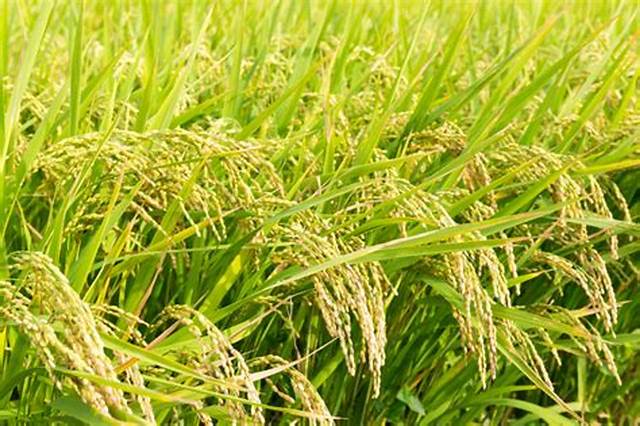
Yield Assessment: Remote Sensing Technology based
yield assessment exposure in following States: Gujarat,
Karnataka, Andhra Pradesh, M.P, Odisha, Haryana and Tamilnadu
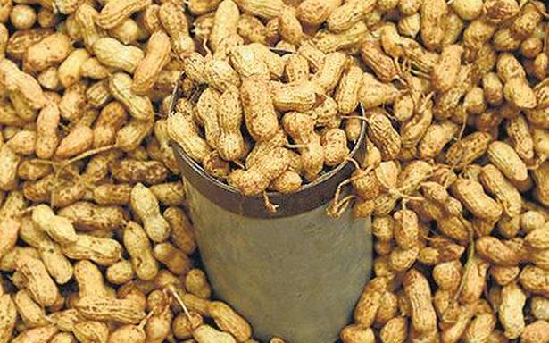
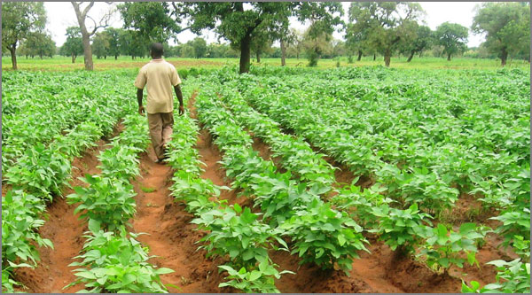
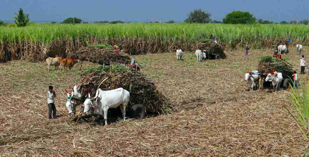
Verification of agriculture crops: We will provide solutions, through data gathering, analytics and processing, backed by field verification, for agriculture.
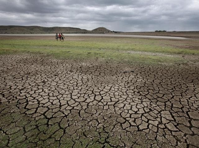
Crop loss or drought: We provide accurate assessment by combining multiple data sources e.g. remote, drones, ground truthing to generate real time data, through the crop cycle for crop acreage, productivity, crop loss or drought.
Soil Moisture Meters: We have developed inhouse Soil Moisture Meters for providing data on soil moisture and Guiding for Water Requirement